Photogrammetric Map Production
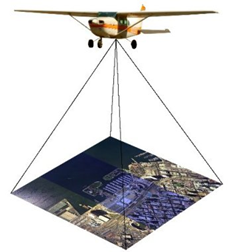
In photogrammetric map production, the current state of the land is recorded in the photograph with geodetic connections and taken to the office environment. Photo recording is done with aerial photographs taken from the aircraft. Before the shooting, location marking and precise GPS measurements are made and the land is geodetically connected to the photos. In this way, measurements made in the office are carried out with real world coordinates.
The current photogrammetrically produced map is no longer a bureaucratic element that only meets the shape requirement in investments, it is used to improve the project. In this respect, photogrammetric map production becomes an element that supports efficiency in the project.
The control processes and criteria of the produced map are the same as the terrestrially produced maps. It is technically the same whether the map prepared for the project studies and the development plan was produced terrestrially or photogrammetrically. However, the photogrammetric method has additional advantages over terrestrial production, which are stated below.
- More area is mapped in less time.
- The map’s detail and data quality will be higher.
- Map production is not affected by meteorological conditions.
- There is no negative interaction with the local people, since the topographers do not enter their land.
- It is ensured that the collected data is authentic, since photogrammetric production is not open to abuse.
- The larger the area, the lower the unit cost.
- Since the photographs of the area will be taken already, there is no need to go back to the field for mapping in project plan changes.
- Additional analyzes and studies such as geological, road planning, precise location determination can be made with real terrain view and coordinates in stereo environment.
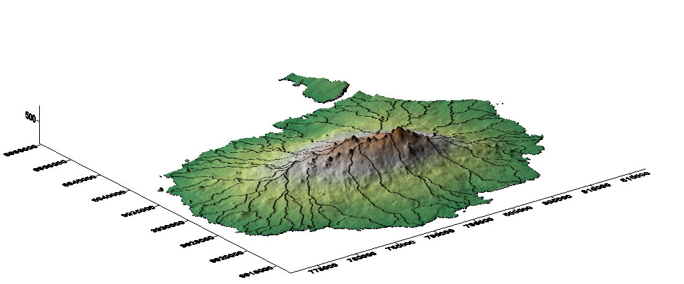
- Research, planning and calculations are made easier with additional data types such as orthophoto, accurate and detailed digital terrain model provided by photogrammetry.